
Arun vally Treak 14 days
Arun vally Treak 14 days
Activities
Group Size
Reviews
Keywords
Trip code
WT-CODE 3077
- Overview
- Trip Outline
- Trip Includes
- Trip Excludes
- Gallery
- Reviews
- Booking
- FAQ
ARUN VALLEY TREK
– History, Culture, and Living Heritage of Eastern Nepal*
Arun Valley, hidden in the eastern Himalaya of Nepal between the towering massifs of Mt. Everest (8,848 m) and Mt. Makalu (8,485 m), is one of the least explored yet historically rich trekking regions in the country. Carved by the mighty Arun River, which flows south from the Tibetan plateau through some of the deepest gorges on Earth, the valley forms a natural corridor connecting the high Himalaya with the low subtropical plains. Because of this extreme vertical drop—from snowbound peaks to lush river basins within short distances—Arun Valley is often referred to as the world’s deepest valley, a title earned both by geography and by the layers of human history embedded in its landscapes.
Historical Importance and Ancient Trade Routes
For centuries, Arun Valley functioned as an important trans-Himalayan trade route, long before modern trekking began in Nepal. Traders, monks, and pilgrims traveled through this valley to exchange salt, wool, grains, herbs, and livestock between Tibet and the lowlands of eastern Nepal. Many of the trails used by trekkers today follow these same ancient caravan routes, worn smooth by generations of foot traffic. Stone steps, old rest houses, and crumbling chortens along the way stand as silent witnesses to this historic movement of people and goods.
The valley also served as a cultural buffer zone where Tibetan Buddhism from the north met Kiranti and Hindu traditions from the south. This blending of belief systems created a uniquely tolerant and spiritually rich society that still thrives today.
Ethnic Communities and Cultural Harmony
The Arun Valley is home to a remarkable diversity of ethnic groups, living in harmony despite differences in language, religion, and tradition. The Rai people, indigenous to eastern Nepal and followers of the ancient Kiranti belief system, are among the earliest inhabitants of the valley. Their spiritual practices revolve around nature worship, ancestor veneration, and ritual ceremonies performed by shamans known as Nakchhong. Sacred forests, stones, and rivers are deeply respected, reflecting a worldview that sees humans as part of nature rather than separate from it.
Alongside the Rai, the Sherpa community inhabits higher elevations of the valley. These Sherpas share cultural roots with Tibet and practice Tibetan Buddhism, evident in the presence of monasteries, prayer wheels, mani walls, and fluttering prayer flags that line the trails. Many monasteries in the region are centuries old and continue to serve as centers of learning, meditation, and community life. Festivals such as Losar, Mani Rimdu, and seasonal pujas play an important role in maintaining spiritual balance and social cohesion.
In lower and mid-hill regions, Brahmin and Chhetri communities practice Hindu traditions, celebrating festivals like Dashain, Tihar, and Teej. Hindu temples dedicated to Shiva, Vishnu, and local deities are scattered throughout the valley. The coexistence of Buddhist monasteries and Hindu temples within walking distance of each other is one of Arun Valley’s most remarkable cultural features, highlighting Nepal’s long tradition of religious tolerance.
Spiritual Landscape and Sacred Sites
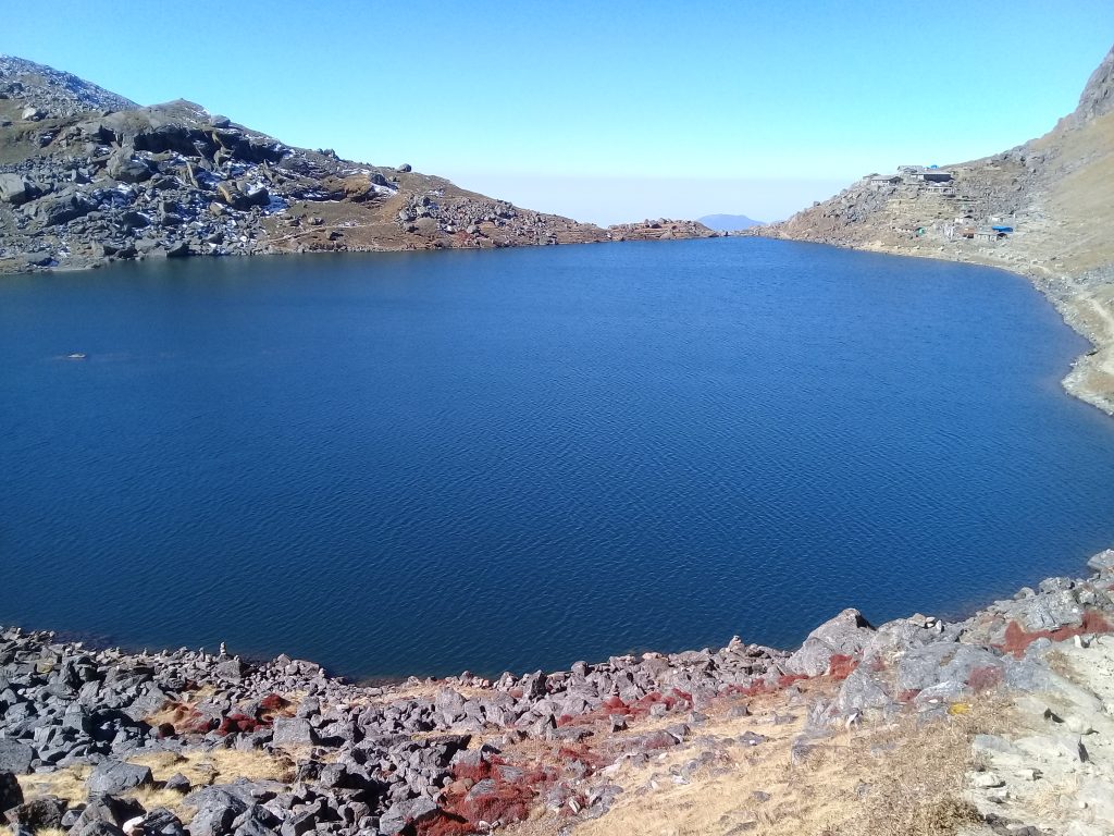
Arun Valley is not just a physical journey but a spiritual one. Many hills, passes, rivers, and lakes are considered sacred. Salpa Bhanjyang, the highest viewpoint of the trek, holds spiritual significance for both Buddhists and Kiranti followers. Nearby Salpa Lake (3,414 m) is believed to be a sacred body of water, where pilgrims come to offer prayers and seek blessings. The lake is often wrapped in mist, adding to its mystical atmosphere.
Monasteries perched on ridges and cliff edges serve as places of meditation for monks who retreat here for months or even years. Prayer flags strung across high passes symbolize the spreading of compassion and goodwill through the wind, a concept central to Himalayan Buddhism.
Relationship Between People and Nature
The people of Arun Valley have survived for centuries by maintaining a deep, respectful relationship with nature. Traditional farming techniques such as terrace cultivation, rotational grazing, and seasonal migration are still practiced. Villagers grow millet, maize, buckwheat, barley, and potatoes, while livestock such as yaks, cattle, and goats provide milk, meat, and wool.
The valley is also famous for beekeeping and wild honey hunting, a practice passed down through generations. Honey is not only an important food source but also used in traditional medicine and rituals. Herbal knowledge remains strong, with locals able to identify medicinal plants found within the forests of Makalu Barun National Park.
Natural History and Biodiversity
Much of the Arun Valley lies within Makalu Barun National Park and Conservation Area, one of Nepal’s most biologically diverse protected regions. The extreme altitude variation supports ecosystems ranging from tropical forests to alpine meadows. The area is home to rare wildlife such as red pandas, musk deer, Himalayan black bears, clouded leopards, and occasionally snow leopards in higher regions.
Birdlife is extraordinary, with hundreds of species including colorful pheasants, eagles, and hornbills. The forests bloom with rhododendrons, orchids, magnolias, juniper, birch, and pine, especially vibrant during spring. For local communities, these forests are not just wilderness but living resources governed by traditional conservation ethics.
Arun Valley in Modern Trekking History
Despite its immense natural and cultural wealth, Arun Valley remained largely untouched by mass tourism for decades. Early mountaineering expeditions to Makalu in the mid-20th century brought limited international attention, but infrastructure remained minimal. Even today, trekking here feels like stepping back in time—far from crowded trails, luxury lodges, and commercialized routes.
Modern trekkers walk through villages where daily life continues much as it has for centuries. Children attend small local schools, elders sit outside stone houses spinning prayer wheels, and evenings are spent around hearth fires listening to stories passed down orally through generations.
A Living Cultural Landscape
Arun Valley is more than a trekking destination—it is a living cultural landscape, shaped by rivers, mountains, faith, and resilience. Every step along the trail reveals a deeper connection between humans and the Himalaya. For trekkers seeking solitude, authenticity, and meaningful cultural encounters, Arun Valley offers an experience that is both humbling and transformative.
This trek is not about reaching a single destination, but about understanding a way of life that has endured in balance with one of the most dramatic environments on Earth.
Below is the complete day-by-day itinerary for the 14-Day Arun Valley Trek, carefully designed to give you a clear overview of each day’s trekking activities, walking hours, overnight accommodations, altitude gains, and the breathtaking landscapes and cultural experiences that make this off-the-beaten-path journey one of Nepal’s most rewarding trekking adventures.
Itineraries
Day 1
Fly from Kathmandu to Tumlingtar (937m) & Trek to Kartike Ghat
Flight time: ~35 minutes
Trek duration: ~5 hours
Altitude: 937m → ~450m
Distance: ~12 km
Early morning flight from Kathmandu to Tumlingtar offers superb aerial views of eastern hills and Himalayan ridges. After landing, you begin trekking, descending gradually through cultivated fields and subtropical forests. The trail drops steeply toward the mighty Arun River, crossing a long suspension bridge. You pass Bheteni village, home to Rai, Chhetri, and Brahmin communities. Local lifestyles, traditional houses, and terraced farms dominate the scenery. The walk continues to Kartike Ghat, famous for beekeeping and wild honey. Overnight at lodge near the river.
Day 2
Trek from Kartike Ghat to Gothe Bazaar
Trek duration: ~6 hours
Altitude: ~450m → ~1,200m
Distance: ~15 km
After breakfast, the trail gently ascends along fertile rice terraces and riverside paths. You walk through villages such as Baluwa, Benshi (320m), and Danda, observing rural farming life and traditional water mills. Gradually climbing through Mardua, the landscape changes to cooler hills. By late afternoon, you arrive at Gothe Bazaar, a lively local market village mainly inhabited by Rai and Gurung communities. This area reflects strong Kiranti traditions mixed with Hindu practices. Overnight at lodge.
Day 3
Trek from Gothe Bazaar to Phedi (1,680m)
Trek duration: ~5 hours
Altitude: 1,200m → 1,680m
Distance: ~10 km
Today’s trek passes through rolling hills, terraced farmland, and scattered villages. You cross the Irkhuwa Khola on a long suspension bridge, a scenic highlight of the day. From here, the trail enters Inkhuwa Valley, gradually climbing through forested slopes. Phedi village is known for its old Buddhist monastery, reflecting Tibetan Buddhist influence. Evening time is perfect for exploring the monastery and interacting with locals. Overnight stay at lodge.
Day 4
Trek from Phedi to Gurase (2,880m)
Trek duration: ~5 hours
Altitude: 1,680m → 2,880m
Distance: ~11 km
After breakfast, you climb a long stone staircase leading into dense oak and rhododendron forests. The trail steadily ascends through small villages and past seasonal settlements like Bebate. Gurase is a beautiful highland village famous for producing some of the region’s finest barley. The air becomes crisp and cool, and panoramic views of distant Himalayan ridges open up. Overnight at lodge.
Day 5
Trek from Gurase to Sanam via Salpa Pokhari & Salpa Pass
Trek duration: ~5 hours
Highest altitude: Salpa Pokhari (3,414m)
Distance: ~9 km
Today is one of the most spiritual and scenic days of the trek. You ascend gradually through forested trails to Salpa Pokhari, a sacred alpine lake revered by Buddhists, Kiranti followers, and Hindus alike. After visiting the lake, you cross Salpa Pass, which offers stunning views of surrounding hills and distant Himalayan peaks. The trail then descends gently to Sanam, a beautiful Sherpa village filled with stone houses and terraced fields. Overnight at lodge.
Day 6
Trek from Sanam to Bung (1,900m)
Trek duration: ~7 hours
Altitude: 3,000m → 1,900m
Distance: ~16 km
The day begins with a descent through oak and pine forests. You cross streams and forested paths before reaching Hongu Khola and eventually Bung village. Bung is culturally rich, featuring a Buddhist monastery and a traditional paper-making factory. The village is a center of Sherpa culture and Buddhist practice. Evening exploration of the monastery and village surroundings is highly rewarding. Overnight at lodge.
Day 7
Trek from Bung to Gaikharka
Trek duration: ~6 hours
Altitude: ~1,900m → ~2,300m
Distance: ~12 km
You start the day trekking through Rai villages, gaining insight into Kiranti traditions and daily rural life. A visit to Khiraule Gompa adds cultural depth. The trail then enters Bung Valley and descends through bamboo and mixed forests to Gaikharka, a peaceful grazing area used by locals for livestock. This day offers excellent opportunities for birdwatching and nature photography. Overnight at lodge.
Day 8
Trek from Gaikharka to Vasme via Pangum La Pass
Trek duration: ~5 hours
Highest altitude: Pangum La (~3,200m)
Distance: ~10 km
The trail begins through forested terrain before crossing Hinku Khola into the Sibjue Valley. You then climb steadily toward Pangum La Pass, one of the scenic viewpoints of the trek. From the pass, enjoy breathtaking views of Mera Peak and surrounding Himalayan ranges. The descent leads you to Vasme, a quiet settlement surrounded by forest and pastureland. Overnight at lodge.
Day 9
Trek from Vasme to Pangum (2,850m)
Trek duration: ~5 hours
Altitude: ~3,200m → 2,850m
Distance: ~8 km
Today’s walk is mostly downhill and relaxing. You descend gradually from Pangum Pass to Pangum village, passing forest trails and open ridges. Upon arrival, visit Pangum Gompa, an ancient Buddhist monastery housing rare manuscripts and sacred relics. The monastery plays an important spiritual role for the surrounding communities. Overnight at lodge.
Day 10
Acclimatization & Exploration Day at Pangum
Altitude: 2,850m
Distance: Optional ~5 km
A full rest day to explore Pangum village and surrounding viewpoints. Hike to nearby ridges or visit neighboring villages. Interact with monks and villagers to understand Sherpa Buddhist traditions. This day also helps with acclimatization before descending toward lower elevations. Overnight at lodge.
Day 11
Trek from Pangum to Kharikhola (2,040m)
Trek duration: ~7 hours
Altitude: 2,850m → 2,040m
Distance: ~14 km
Start trekking from Pangum toward Kari La Pass, followed by a long descent. After crossing the pass, descend toward Paiyan village and continue to Kharikhola. The village offers comfortable lodges and panoramic valley views. Overnight at lodge.
Day 12
Trek from Kharikhola to Taksindu (2,930m)
Trek duration: ~5 hours
Altitude: 2,040m → 2,930m
Distance: ~10 km
Cross the Dudh Koshi River and climb steadily through alpine forest. Views of Lukla Valley gradually appear. Visit a Buddhist gompa along the way before reaching Taksindu, a serene Sherpa settlement with excellent vistas. Overnight at lodge.
Day 13
Trek from Taksindu to Phaplu / Salleri
Trek duration: ~5 hours
Altitude: 2,930m → 2,400m
Distance: ~9 km
The trail passes through dense forest before opening to panoramic Himalayan views. Passing Ringmo village, you can observe traditional village life and terraced farming. Arrival at Salleri or Phaplu, the administrative hub of Solu region. Overnight at lodge.
Day 14
Drive from Phaplu / Salleri to Kathmandu
Drive duration: ~9 hours
Final altitude: 1,400m
Distance: ~250 km
A scenic drive back to Kathmandu through hills, river valleys, terraced farms, and traditional villages. Arrival in Kathmandu by evening marks the end of a culturally rich and biologically diverse trek through Arun Valley.
What Is Included ?
All airport pick-up and drop-off services by private vehicle
Entry permits for Makalu and Sagarmatha National Park
Local government entry fee for rural municipality
Trekkers’ Information Management system (TIMS) card
Trekking guide
Porters (1 porter carries 25 kilograms of luggage)
All meals three times a day (breakfast, lunch & dinner)
sleeping bags, down jackets, duffle bags, cooking utensil and trekking poles.
Bus or hice micro van from salleri to Kathmandu.
Insurance and equipments for the guides and porters
First aid kit
Tax, VAT and our service charge
Rescue assistance. To arrange timely evacuation/rescue by helicopter, you must be well insured from a reliable travel insurance company that covers both helicopter evacuation and medical treatment cost.)
What Is Excluded?
Personal nature expenses (Telephone calls, internet, toiletries, battery recharge, hot shower, laundry, soft drinks, beers and any alcoholic beverages)
Travel insurance
Tips for involved Guide and Porters
Meals and hotel accommodation in Kathmandu (even in case of early arrival or late departure, early return from trekking due to any personal reason than the scheduled itinerary)


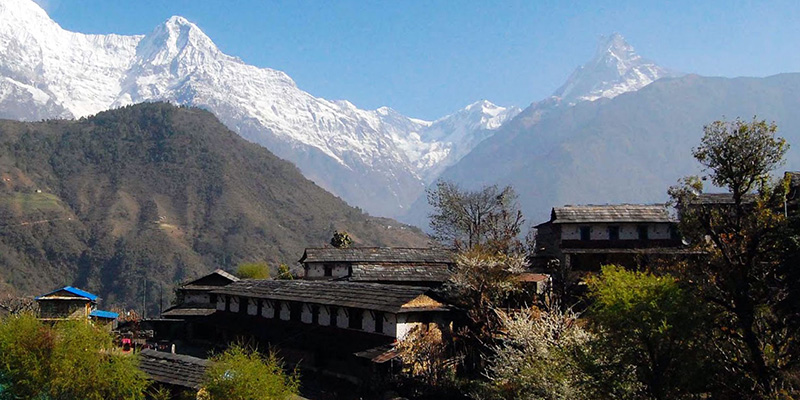
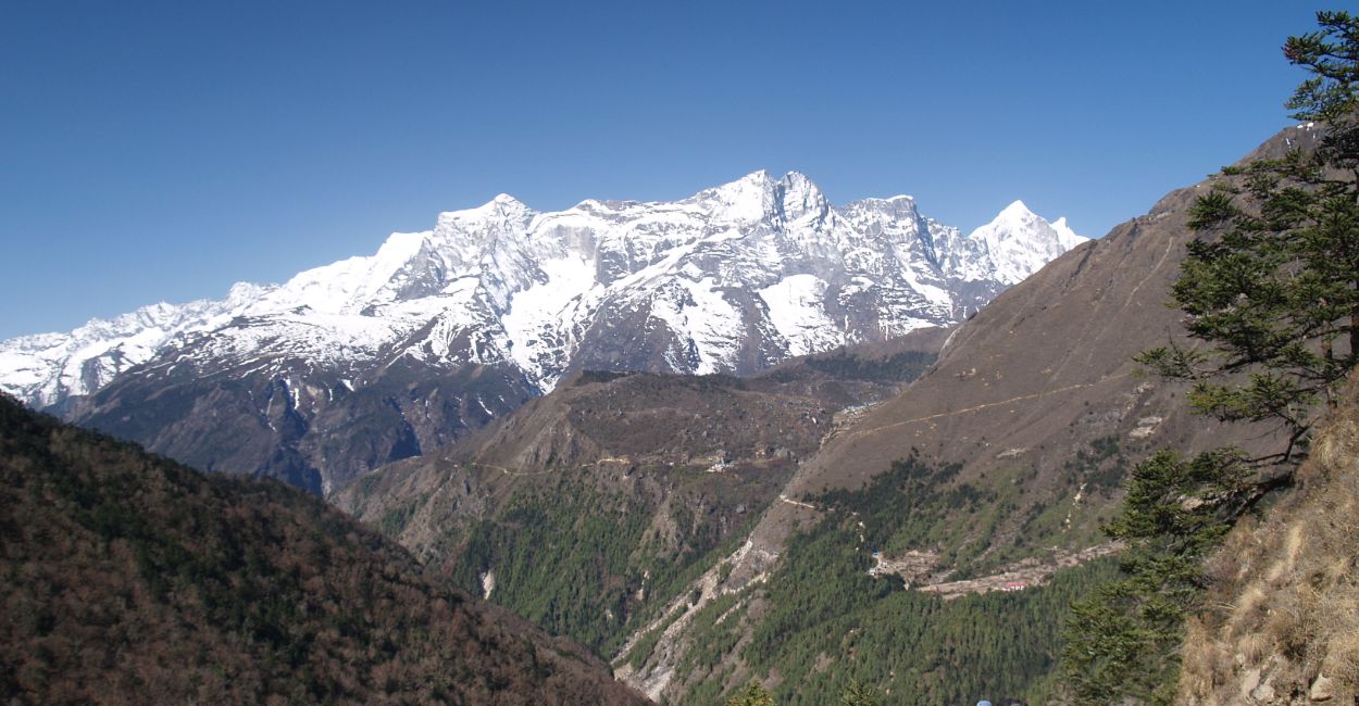
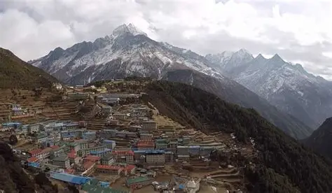
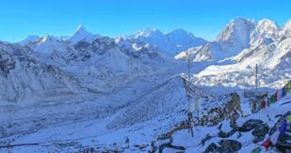

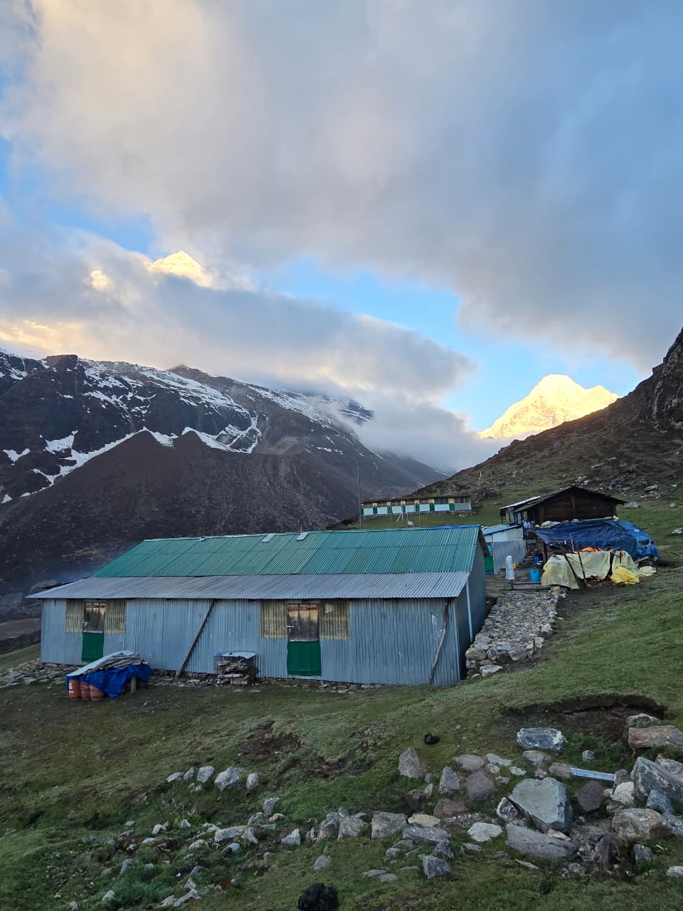
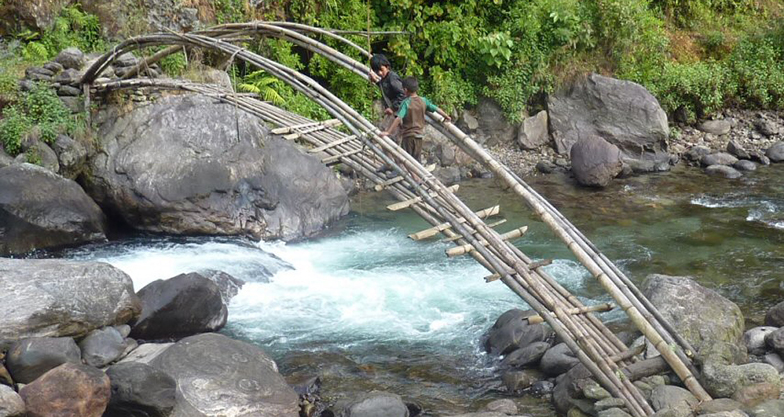
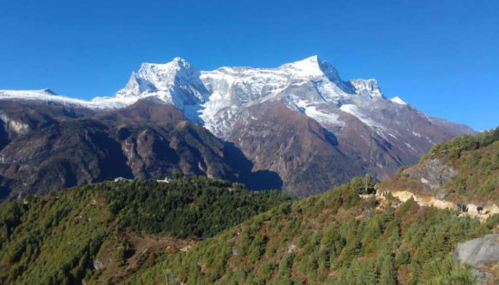
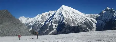
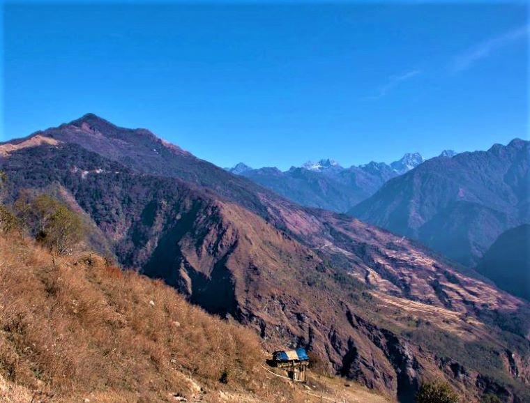
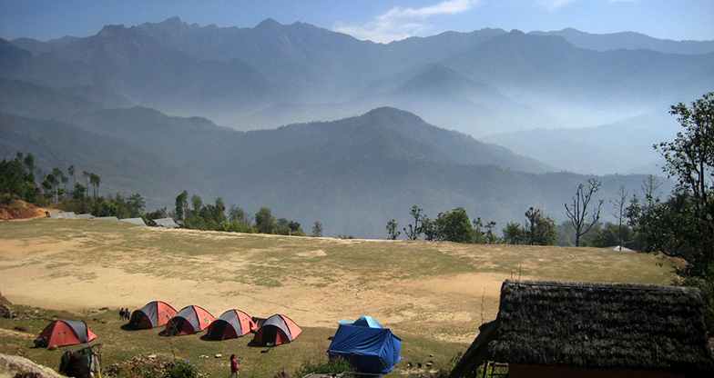
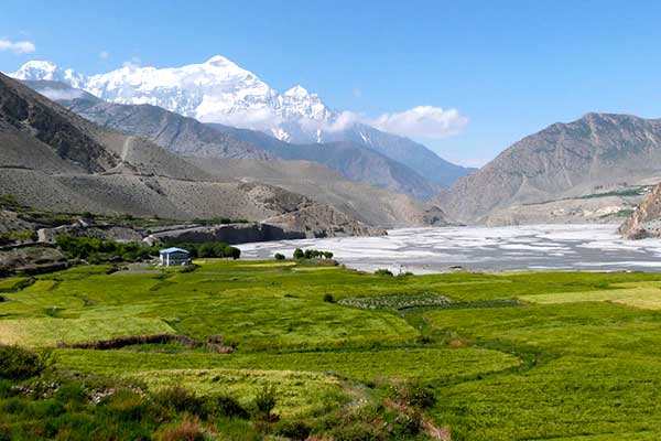
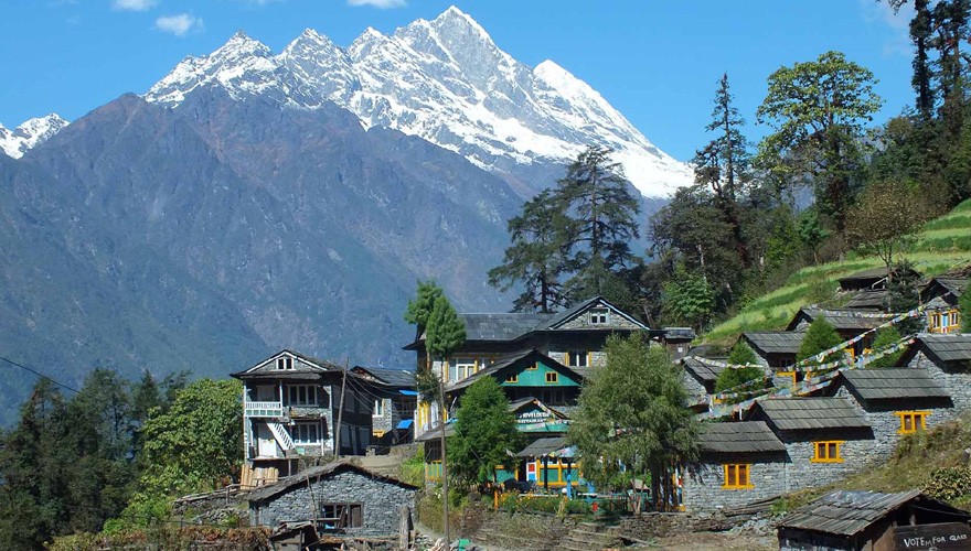
The Arun Valley Trek is located in eastern Nepal between the Everest and Makalu regions. The trek follows the beautiful Arun River and passes through traditional Rai, Limbu, and Sherpa villages while offering stunning Himalayan views.
The Arun Valley Trek is considered a moderate trek. Trekkers typically walk 5–8 hours per day on trails that include steep ascents and descents. Good physical fitness is recommended, but prior trekking experience is not mandatory.
The highest point of the standard Arun Valley Trek is usually Salpa Bhanjyang (Salpa Pass) at approximately 3,350–3,800 meters, depending on the route. This relatively moderate altitude helps reduce the risk of altitude sickness.
Most Arun Valley Trek itineraries take between 10 and 18 days, depending on the route, side trips, and pace of travel. Some itineraries connect with the Everest region and may take longer.
The best seasons are spring (March–May) and autumn (September–November). During these months, the weather is generally stable, mountain views are clear, and temperatures are comfortable for trekking.
Trekkers usually stay in local teahouses, lodges, or homestays. Accommodation is generally basic but comfortable, providing meals, beds, and opportunities to experience local hospitality and culture.
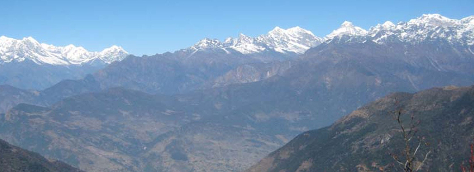
The trek offers views of several magnificent Himalayan peaks, including Mount Everest, Makalu, Lhotse, Ama Dablam, and other surrounding peaks.
Although the trek reaches moderate elevations, mild altitude-related symptoms can occur. Trekkers should walk at a comfortable pace, stay hydrated, and allow time for proper acclimatization if needed.
The Arun Valley Trek is known for its untouched trails, rich cultural diversity, lush forests, deep river valleys, and spectacular mountain scenery. Unlike more crowded trekking routes, it offers an authentic Himalayan experience with fewer trekkers and greater opportunities to interact with local communities.
There are no reviews yet.